Floods have long been a natural disaster of significant concern, impacting communities, economies, and ecosystems across the globe. As our world faces changing weather patterns and increased urbanisation, understanding flood risk is more crucial than ever. Flood zone mapping and flood risk assessments are vital tools in our efforts to mitigate the devastating impacts of flooding. In this article, we’ll explore the importance of flood zone mapping and flood risk assessments, their methodologies, and the role they play in disaster preparedness and resilience.
The Significance of Flood Zone Mapping
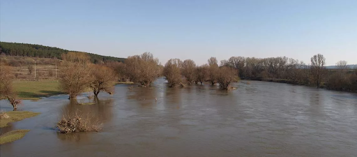
Flood zone mapping, also known as floodplain mapping, involves the creation of accurate and up-to-date maps that designate areas susceptible to flooding based on past occurrences and predictive models.
- Risk Communication: Flood zone maps provide valuable information to homeowners, businesses, and communities about their level of flood risk. This knowledge is crucial for informed decision-making regarding property purchases, insurance, and emergency preparedness.
- Regulatory Compliance: Many municipalities use flood zone maps to implement land-use regulations and building codes, ensuring that new construction and development take into account the flood risk in a given area.
- Emergency Response: First responders and emergency management agencies rely on flood zone maps to plan for and respond to flood events. These maps all guide evacuation routes, emergency shelters, and resource allocation.
- Insurance Determination: Flood insurance rates, offered through the National Flood Insurance Program (NFIP) in the United States and similar programs worldwide, are determined based on a property’s location within flood zones.
- Environmental Conservation: Floodplain maps assist in protecting environmentally sensitive areas. Preservation of wetlands and natural habitats is crucial not only for biodiversity but also for flood control.
How Flood Zone Mapping Works
Flood zone mapping involves an intricate process that combines historical flood data, topographical information, and hydrological modelling to identify areas prone to flooding.
- Data Collection: Collecting data on past floods, rainfall patterns, river flow rates, and other relevant information.
- Topography Analysis: Studying the landscape to understand how water flows, including the elevation of land and the presence of natural barriers like hills, rivers, or man-made structures.
- Hydrological Modeling: Using mathematical models to simulate how water would behave during a flood event. This takes into account rainfall, snowmelt, and the capacity of rivers and drainage systems.
- Flood Frequency Analysis: Estimating the probability of different flood magnitudes, such as 10-year, 50-year, or 100-year floods. The latter refers to a flood event with a 1% chance of occurring in any given year.
- Mapping: Producing maps that designate different flood zones based on the analysis. These zones range from low-risk to high-risk areas, with corresponding regulations and recommendations.
Flood Risk Assessments: Going Beyond Mapping
While flood zone mapping is essential, flood risk assessments go a step further by analysing the vulnerabilities of properties and communities within these zones. A comprehensive flood risk assessment considers multiple factors:
- Property-Specific Risks: It evaluates individual properties to determine their unique vulnerabilities to flooding, considering factors such as building materials, foundation types, and elevation.
- Infrastructure Vulnerability: Assessments also look at the vulnerability of critical infrastructure, such as roads, bridges, utilities, and emergency services, to assess their ability to withstand or recover from flood damage.
- Community Resilience: Examining the overall resilience of a community includes assessing the availability of evacuation routes, the location of emergency shelters, and the strength of disaster response plans.
- Climate Change Considerations: Given the changing climate, flood planning assessments often incorporate future scenarios, taking into account projected sea-level rise and increased precipitation, among other factors.
- Economic Impact: Evaluating the potential economic impact of flooding is crucial. This includes damage to property, disruption to businesses, and the cost of recovery and rebuilding.
Conclusion
Flood zone mapping and flood risk assessments are essential tools for disaster preparedness and resilience. They empower individuals and communities to make informed decisions about “flood risk report for my property” to implement effective flood management strategies.